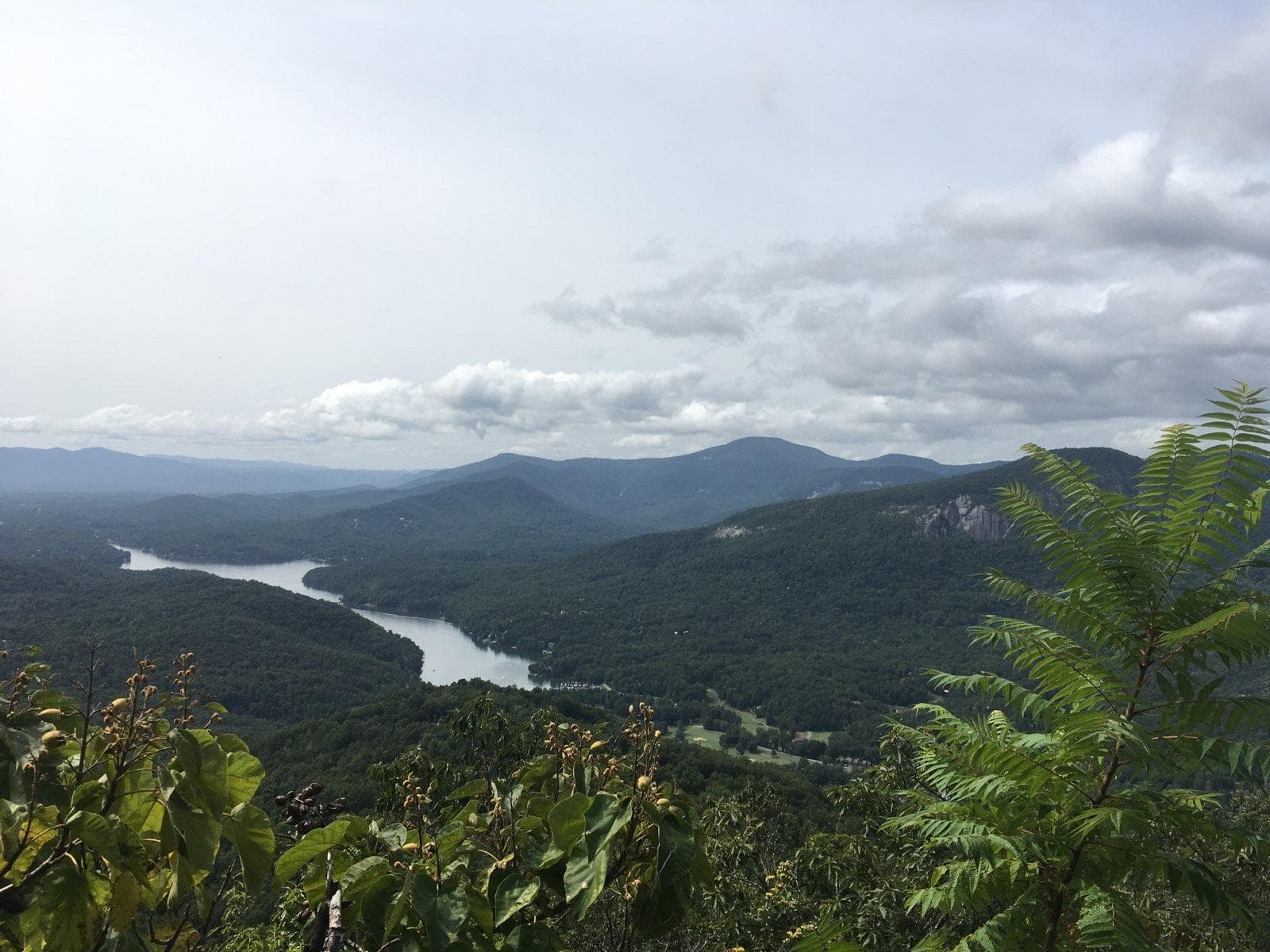


The Youngs Mountain Trail is a 4.2-mile round-trip, out and back hike. When you reach the endpoint on the summit of Young’s Mountain, enjoy a spectacular
view of Lake Lure, sheer rock faces of Rumbling Bald, Shumont Mountain, and Eagle Rock. Also visible are Weed Patch Mountain, Buffalo Creek Park, the
lower Hickory Nut Gorge, and Mt. Mitchell on a clear day.
The hike is rated as strenuous, rising 1,200 feet in elevation, climbing up stone and log steps for much of the way. Also featured are exposed cliffs and
rock outcrops, offering extraordinary views of surrounding cliffs, mountains, valleys, and lakes – use caution in these sections.
There is extremely limited parking available at the current Youngs Mountain trailhead, which is located within the gated Tatanka community north of
Lake Lure. Conserving Carolina is working toward a future extension that will add approximately 1.5 miles to the trail and connect to a larger
parking area outside of the gated neighborhood.
Parking is free and available to the public but you must register for a pass for one of the limited parking spaces. To register, visit Conserving Carolina’s Trails page using the link below:
https://conservingcarolina.org/youngs-mountain/
Once you are registered for a parking pass, Conserving Carolina will send you the gate code and directions to the trailhead.
WHERE: Off Buffalo Creek Road, Lake Lure, NC
DIRECTIONS:
Weather can change quickly in the mountains. Always tuck rain gear into your backpack and bring along layers of clothes.