


Though designed with mountain bikers in mind, this a multi-use park suitable for runners and hikers as well. This is the only bike trail system of its
kind within 20 miles. It features banked turns, rollers, and berms. The main trail is a 3.5-mile loop. The trail is challenging due to the elevation
change.
M, T, Th, Sa – Hikers Clockwise, Bikers Counterclockwise
W, F, Su – Hikers Counterclockwise, Bikers Clockwise
The Weed Patch Mountain Trail, an 8.6-mile long connection from the end of the current extension to Eagle Rock on Chimney Rock State Park land.
For additional info see the town’s webpage for the trail: http://www.townoflakelure.com/buffalo-creek-park.php
The trail is part of the newly designated Hickory Nut Gorge State Trail System. That system is envisioned to be more than 100 miles of trails throughout
Hickory Nut Gorge. To read more about the plans and see a map of the current and proposed trails see the link below:
WHERE: 2191 Buffalo Creek Road, Lake Lure, NC 28746
DIRECTIONS: Located off Buffalo Creek Road just north of Rumbling Bald Resort.

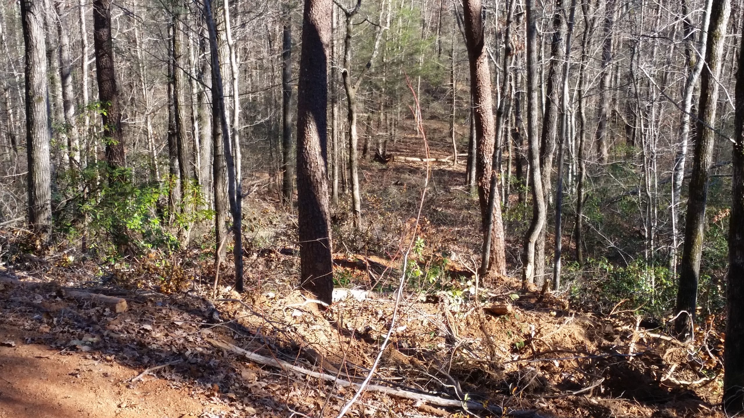
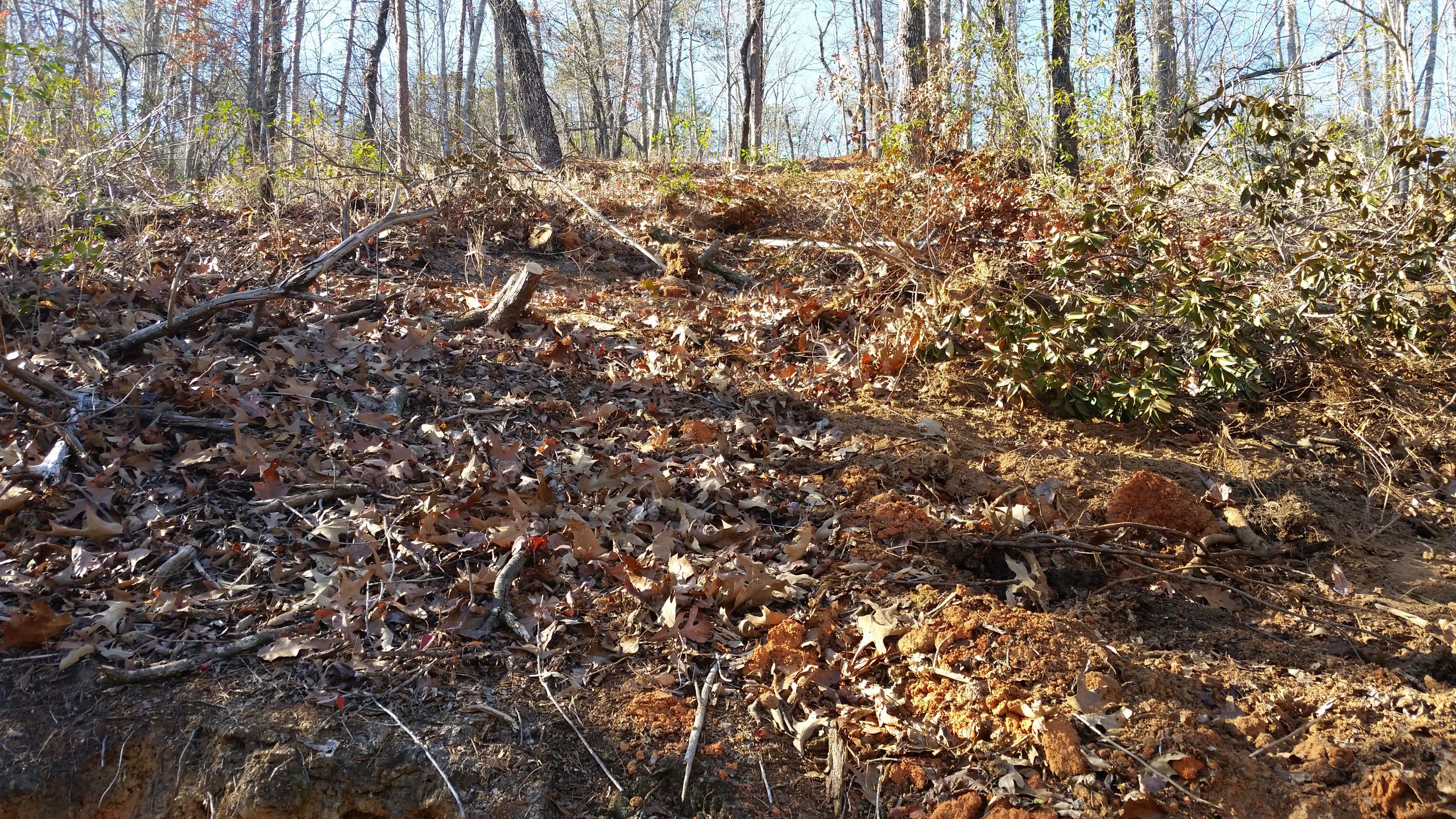
The mountain bike trail at Buffalo Creek was severely damaged during the Party Rock fire control efforts . Repairs have just been completed and the original 3.5 mile loop is now reopened for pedestrians and bikers. The repairs are very good but users should stay on the trail and avoid cutting switchbacks to help prevent erosion. Photos of the damaged area and repairs are posted for reference.
Keep your maps in a plastic bag to protect them from the rain and know how to use them. GPS units are great, but they are not substitutes for knowing how to use a map and compass.


 View Image(s)/Video(s)